
 INNOVATION
 ENVIRONMENT
 ACCESSIBILITY
 SUSTAINABILITY
FILTER & KEYWORDS: DISPLAY ALL

BLAST
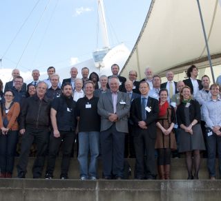
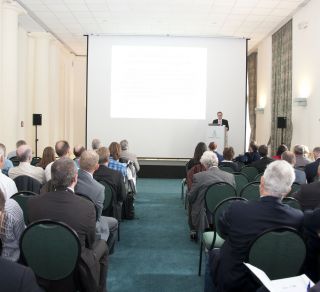
Bringing Land and Sea Together
Background and Aim
Aim
The overall aim of the project was to improve Integrated Coastal Zone Management and Planning (ICZM&P) and maritime safety in a broad sense, by improving and contributing to harmonising terrestrial and sea geographical data and by developing planning and visualisation tools as well as improvement of navigation, in the context of climate change.
Background
The Operational Programme states with emphasis that future economic development goes hand in hand with environmental consciousness. There is competition for use of the coastal zone, and there is a common challenge to find positive solutions where social, economic and environmental development pressures come into conflict. The BLAST project had a primary focus on “Bringing land and sea together”, by harmonizing and integrating data for land and sea.
In respect to geographic data, it is a fundamental problem that data on the landward side is collected and maintained by topographic mapping or cadastral agencies utilised primarily for development, nature conservation etc., while sea data is collected by hydrographic survey services, focusing primarily on marine navigation issues.
Furthermore, the collaboration between member states at national, regional and local level can be improved. This can lead to seamlessly joined data which gives consistent information without overlap. BLAST followed the IHO-guidelines as state of the art. The outcome of the project was a regional input to the IHO-organisation (International Hydrographic Office). There were also areas not covered, especially in shallow water.
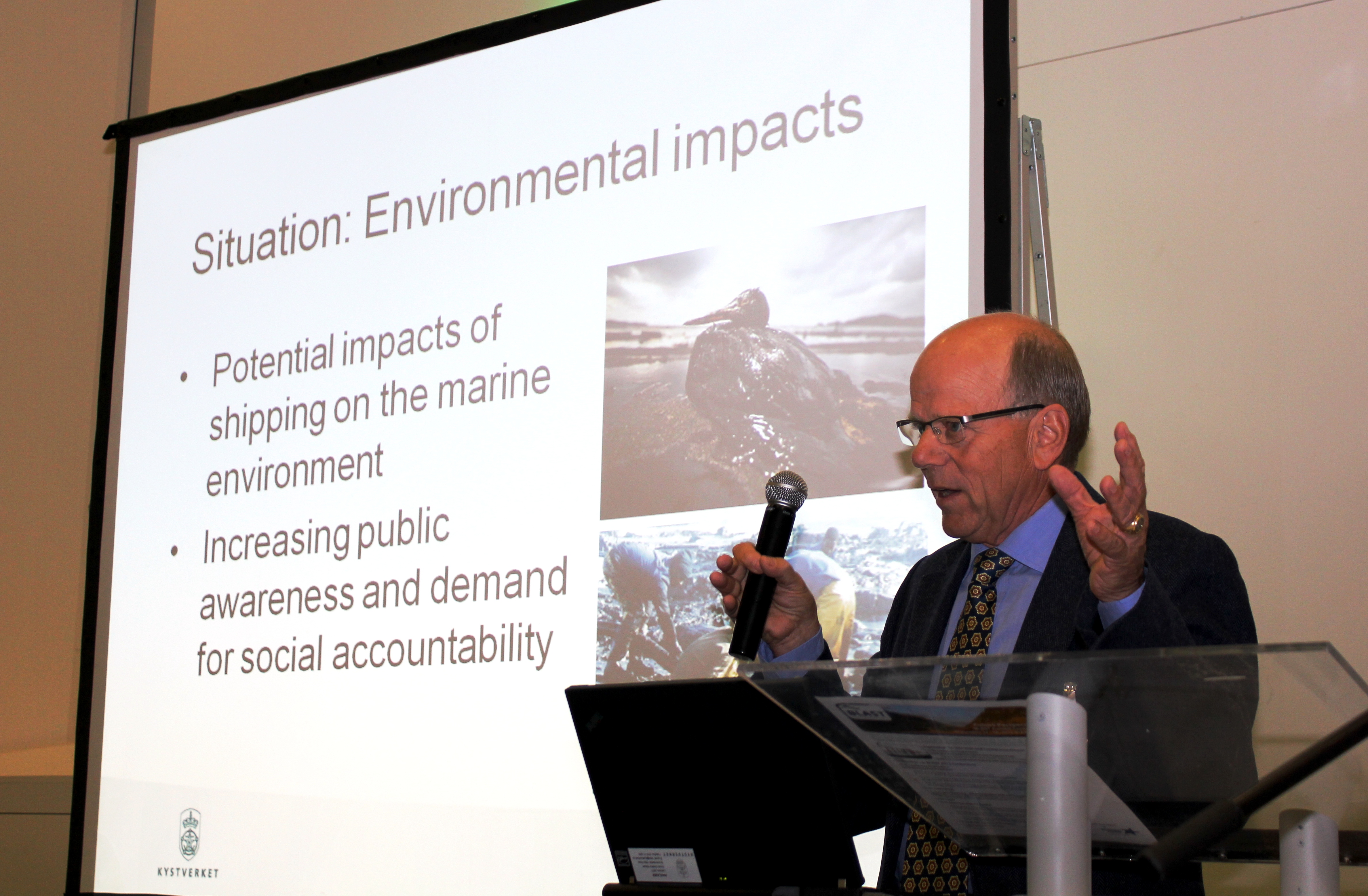
These problems implies a limitation to good planning and integrated coastal zone management, and it poses a risk in handling acute pollution, accidents etc. The project therefore provided a prototype for land/sea interoperable database for testing by practitioners in a study area.
It is a transnational European challenge to harmonise maritime information. One special aspect is safe approach and berthing of ship in ports. Today, maritime information is presented in different ways in different ports and different countries. The project developed a basis for harmonising maritime information. It also demonstrated the value of 3D visualisation in navigational aid displays.
Incomplete, inconsistent maritime information is a leading factor in marine casualties, environmental damage and ship detainments. The process built on the work already made in The Baltic Sea Harmonisation Working Group.
Lack of reliable maritime information will always be a risk in respect to the maritime traffic navigation and monitoring. A harmonised Electronical Nautical Chart system and efficient traffic monitoring system are of utmost importance to keep a high level of security for regional maritime traffic. Integration and distribution of maritime data is therefore important. It is also important to widen access (SafeSeaNet) to these data so that all parties involved in traffic management can use the data to improve decision making. BLAST in part improved the functionalities of databases, and it provided input to improve SafeSeaNet.
The coastal zone is an optimal place to locate renewable energy devices (wind, tidal turbine) while at the same time needing to consider other interests like maritime traffic and vulnerable ecosystems. These interests need to be managed in a context of climate change adaptation. Consequently integration of coastal zone data for planning and management becomes prominent. The project developed a conceptual model for integrated spatial planning utilising GIS, tools for spatial planning in respect to renewable energy plants, and a Web based decision support system for ICZM in a transnational context. The SEA principles were used to ensure impacts are adequately considered.
An important premise for improved ICZM is to link sea and land areas together. Hence, an important aspect of the aim was to structure and supplement geographical data and provide planning/ management tools that were consistent between sea and land.
| PROJECT DURATION | : 2009-10-01 - 2013-03-30 |
| ERDF GRANT | : 2,499,300.00 € |
| ERDF EQUIVALENT | : 378,150.00 € |
| TOTAL ELIGIBLE BUDGET | : 6,259,100.00 € |
| LEAD BENEFICIARY | : Norwegian Hydrographic Service, Norway |
| PROJECT HOMEPAGE | : www.blast-project.eu |

Information Hub


BLAST General Presentation
Land and Sea Model - Final report
BLAST Vertical datums -Overniew conventions and recommendations
BLAST Height transformation tool - documentation
BLAST tool -Height transformation tool
BLAST report - Establishing a consistent vertical reference frame for the North Sea Area
BLAST technical report - Prototype BLAST Interoperable Land-Sea Reference Base
BLAST report - Comparative study of airborne, mobil and static LIDAR in a coastal environment
BLAST report - Test of bathymetic LIDAR in Denmark
BLAST report - State of the Art and Data Audit for the North Sea Region
BLAST tool - ENC harmonization checker
BLAST report - State of the art : nautical information management
BLAST report - Marine data collection system definition
BLAST report - Bulid a 3D port model and demonstrate automatic change detection
BLAST report - Digital mariners routing guide
BLAST report - harmonization of nautical information
BLAST report - Maritime traffic harmonization - User requirements
BLAST report - Specification for BLAST Regional Maritime Traffic Monitoring and Message reference guide
BLAST report - harmoniize maritime trafffic information Central database and web interface
BLAST report - WP5 Validation of the end result
BLAST report - State of the art - Future sea levels
Blast report - ICZM in the North Sea Region
BLAST report - Climate change adaption strategies


 THE NORTH SEA REGION PROGRAMME SECRETARIAT
Toldboden 3 st. E, DK-8800 Viborg, Denmark
Phone: +45 7841 1778
Copyright © 2025 - Legal notice